Geospatial Services

LiDAR

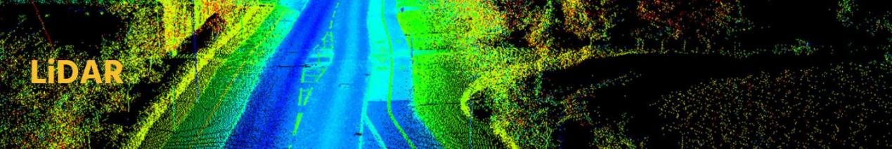
Pre-processing and post-processing of aerial and terrestrial LiDAR data is a challenging task that demands specialized resources, tools, and hardware.  Our Company offer the full suite of services necessary to create high accuracy surface models derived from LiDAR data in accordance with our customers’ pre-defined specifications.

We have provided the below pointed services in LiDAR

  • LiDAR classification Services (Ground , Water, Buildings, Power Lines and Other features ect.)
  • Aerial & Mobile Matching
  • Mobile LiDAR Mapping
  • Terrain Extraction and Data Filtering
  • DSM & DTM Generation
  • Contour Generation

Geographic Information Systems

Our Company has well qualified industry expertise to deliver Geospatial solutions and services especially in Land Information Systems, Utility, Telecom, Transportation, Geology and Engineering sectors.

  • Parcel Maps Creation
  • Utility Maps Creation
  • Topographical and Geological Maps Creation
  • Migrating data from any GIS format to client required format
  • Auto Desk to ESRI
  • Bentley to ESRI
  • Bentley to Small World etc.
  • Data Maintenance & Update
  • Geo coding
  • Spatial Analysis & modeling
  • Spatial Statistics
  • Location Analytic
  • Network Analysis
  • Web Mapping
  • CAD Drafting

Photogrammetry

Our Company provide pre- and post-processing services for photogrammetric data. Our services include:

  • Project management and quality control
  • Fully analytical and digital aerial triangulation
  • Softcopy stereo compilation (planimetric / vector feature extraction)
  • Digital elevation / terrain modeling (DEM / DTM)
  • Digital orthophoto creation
  • Topographic map production
  • Vegetation and land use feature capture
  • Vegetation and land use feature capture
  • Aerial Triangulation
  • Planimetric Mapping
  • Topographic Mapping
  • Digital Elevation Model / Digital Terrain Model
  • 3D City Model
  • Orthophoto Generation